Trusted by Industry Leaders

Revolutionizing data collection and processing

A
LiDAR
LiDAR uses laser pulses to create highly accurate, detailed 3D maps and elevation models. Ideal for topographic mapping, vegetation analysis, and infrastructure projects, it delivers precise data even in dense vegetation.
B
RGB Sensor
An RGB sensor captures high-resolution visual imagery in true color, perfect for aerial photography, videography, and orthomosaic mapping. It provides sharp and vivid data for inspections, surveys, and creative applications.
C
Thermal Sensor
Thermal sensors detect temperature differences to produce heat maps and identify anomalies invisible to the naked eye. This technology is crucial for inspections, search and rescue missions, and environmental monitoring.
D
Magnetometer
Our aerial magnetometer can detect for sub-surface ferrous anomalies for underground utilities, UXOs and other ferrous targets of interests.

E
And More
Drones are a platform capable of carrying virtually any payload, including multispectral, gas detectors, delivery cargo and more.
Certified and Authorized
Drones are classified as aircraft, meaning they are subject to strict federal regulations. You can't simply buy a drone and fly it right away. Our team of certified pilots ensures that all operations comply with regulations, with safety as our top priority.
Authorization is equally important in drone operations. Airspace is divided into controlled, uncontrolled, and restricted zones. Our team has successfully operated in some of the most restricted areas in Guam, including the Guam International Airport and military bases.

INDUSTRIES
Who benefits from drones?
Here are some of the clientele that have been working with 2cofly for drone services.
01
Construction & Engineering Firms
From rapid topographic mapping to high-resolution orthomosaic imagery, 2cofly provides actionable data to streamline every phase of construction. Our advanced drone solutions ensure precise planning, accurate measurements, and enhanced project management. By working alongside surveyors, we achieve absolute accuracy, delivering results that save time, reduce costs, and improve efficiency.
02
Government
2cofly has proven to be a trusted partner for government operations, providing critical drone data in times of need. During disasters like Typhoon Mawar, we supported recovery efforts with real-time aerial assessments, and our preemptive inspection data for the US EPA helped mitigate environmental risks. From conducting large-scale terrain studies using LiDAR for the Pohnpei Government to delivering reliable insights, we empower government agencies to make informed decisions.
03
Military
With extensive experience operating in sensitive environments, 2cofly has mapped over 1,000 acres within Guam's military base using our DoD-approved Blue UAS drone. Our collaboration with military contractors and expertise in secure drone operations ensure compliance with strict protocols while providing critical data for strategic planning, infrastructure management, and security applications.
04
Archaeology
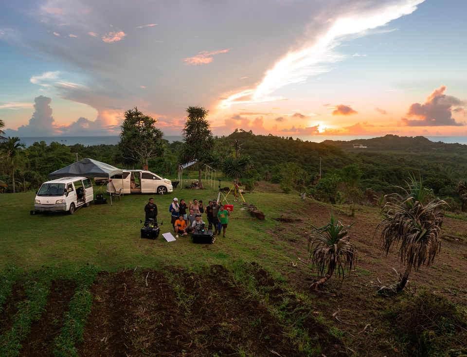
Unveiling the past with cutting-edge technology, 2cofly has revolutionized archaeological research using LiDAR sensing. In Aimeliik, Palau, our team uncovered a vast terrace network under Dr. Jolie Liston’s project, revealing features that even military-grade LiDAR missed. Our high-resolution digital elevation models bring hidden historical landscapes to light, supporting archaeologists in their quest to preserve cultural heritage.
Get Certified
2cofly offers the most comprehensive drone training in the region. To date, we have trained over 250 drone pilots, from high school students to professional engineers. Our training programs include self-paced online courses and hands-on in-person workshops tailored to different skill levels.


2COFLY x NASA GUAM SPACE GRANT
Our internship program, in collaboration with UOG’s NASA Guam Space Grant, provides hands-on experience in drone technology, data analysis, and real-world applications. Interns gain valuable skills in aerial mapping, LiDAR processing, and mission planning while contributing to leading projects in Micronesia.
2COFLY x SPH Engineering
At 2cofly, we embrace a lot of 'firsts.' We don’t shy away from challenges—instead, we collaborate with industry leaders to develop innovative solutions that tackle them head-on. Check out our exciting collaboration with SHP Engineering on an aeromagnetic survey project we successfully completed.
Pilot Directory
See a comprehensive list of all the certified remote pilots in our region, servicing various industries such as construction, surveying, law enforcement, safety and more.

A Glimpse into Our Growth
30K
ACRES MAP
30M
FEET FLOWN
8
MICRONESIAN ISLANDS
250
PILOTS TRAINED
_gold-black.png)


